Western tragopan
A globally threatened pheasant associated with dense temperate forest.
 Tirthanese
Instagram ↗
Tirthanese
Instagram ↗
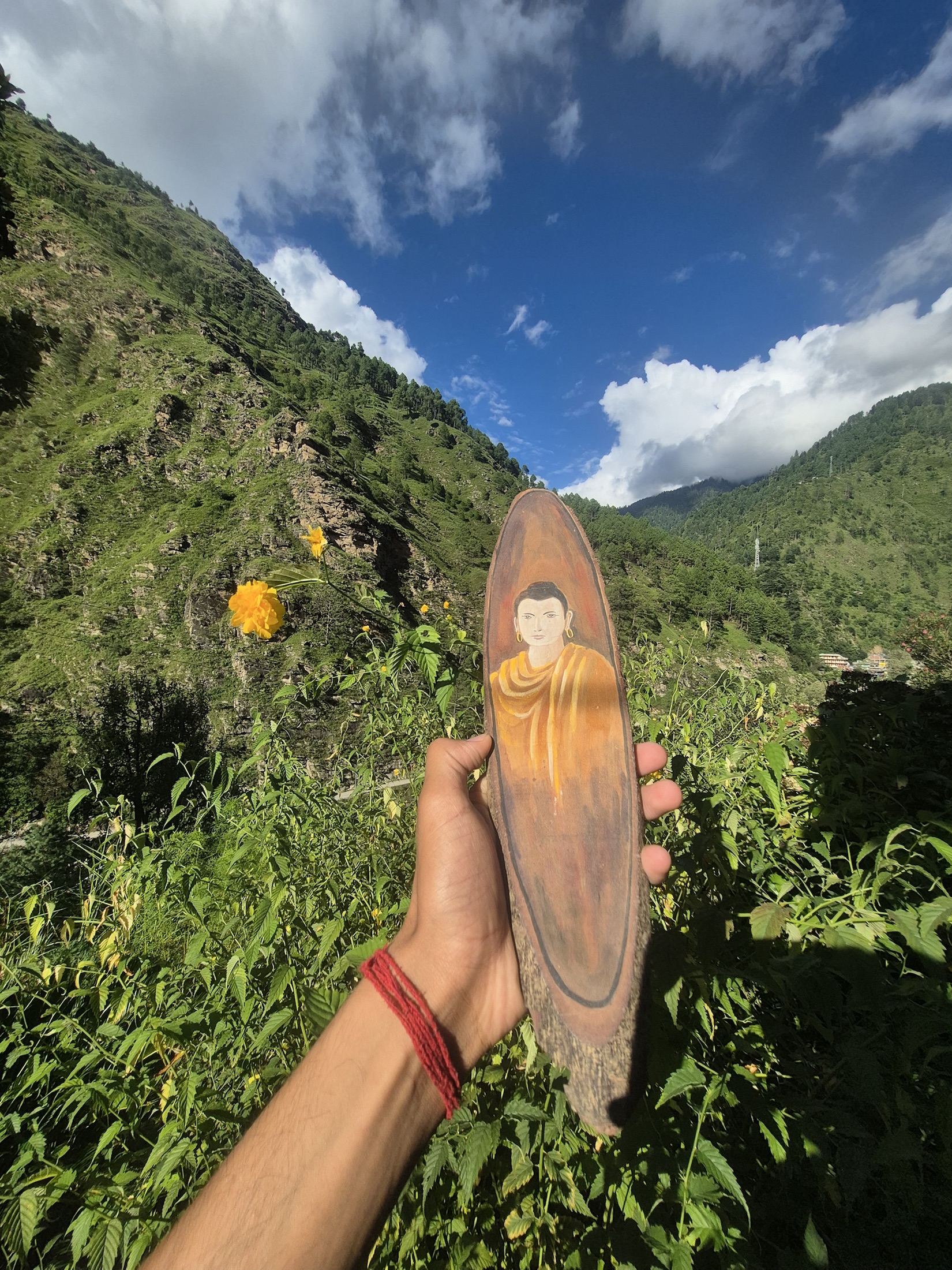
Tirthan Valley · Himachal Pradesh
Stories carried by mountains, rivers and people.
Owner-supplied photograph · Tirthanese
The valley, seen slowly
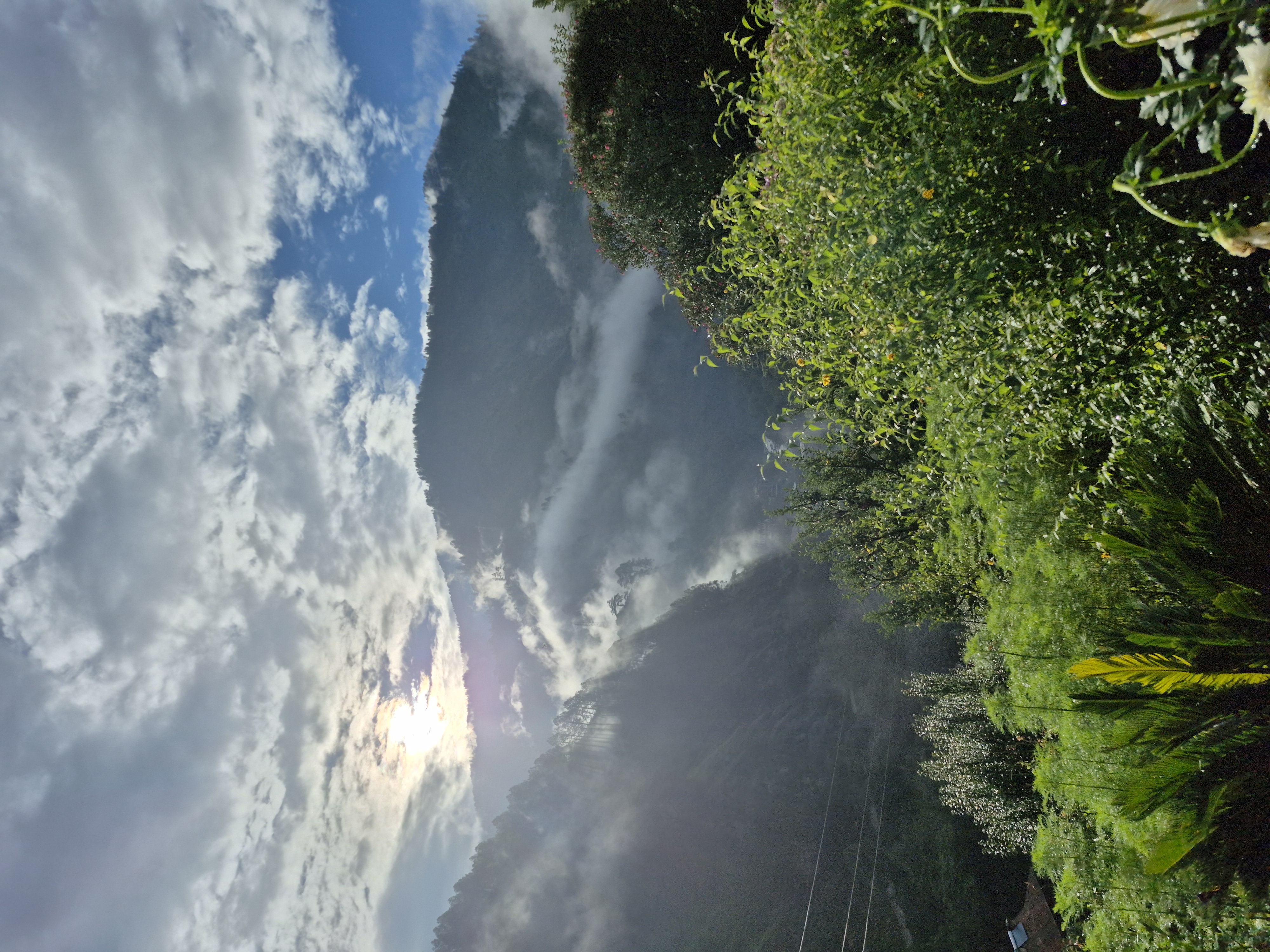
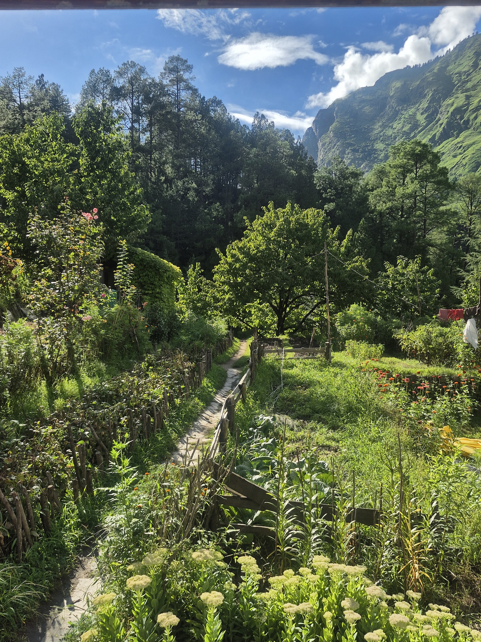
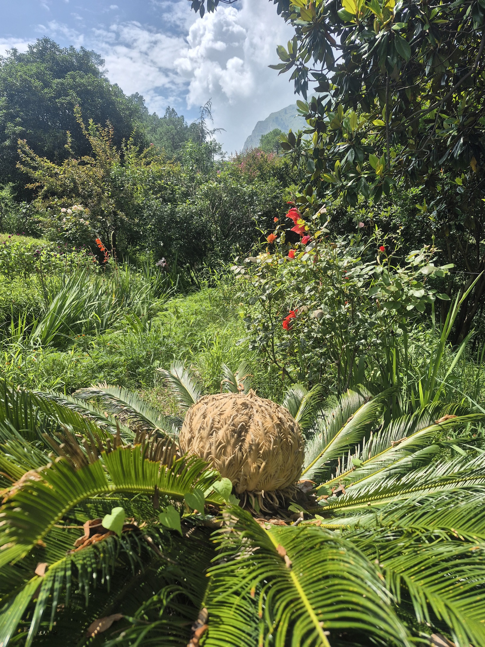
A visual journal of water, forest, built heritage and everyday mountain life. Scroll slowly: one image draws closer while the next arrives softly.
Continue scrolling and the moving frame draws slowly towards you.
Original photographs and a field film supplied by Tirthanese—gathered here as a living archive.
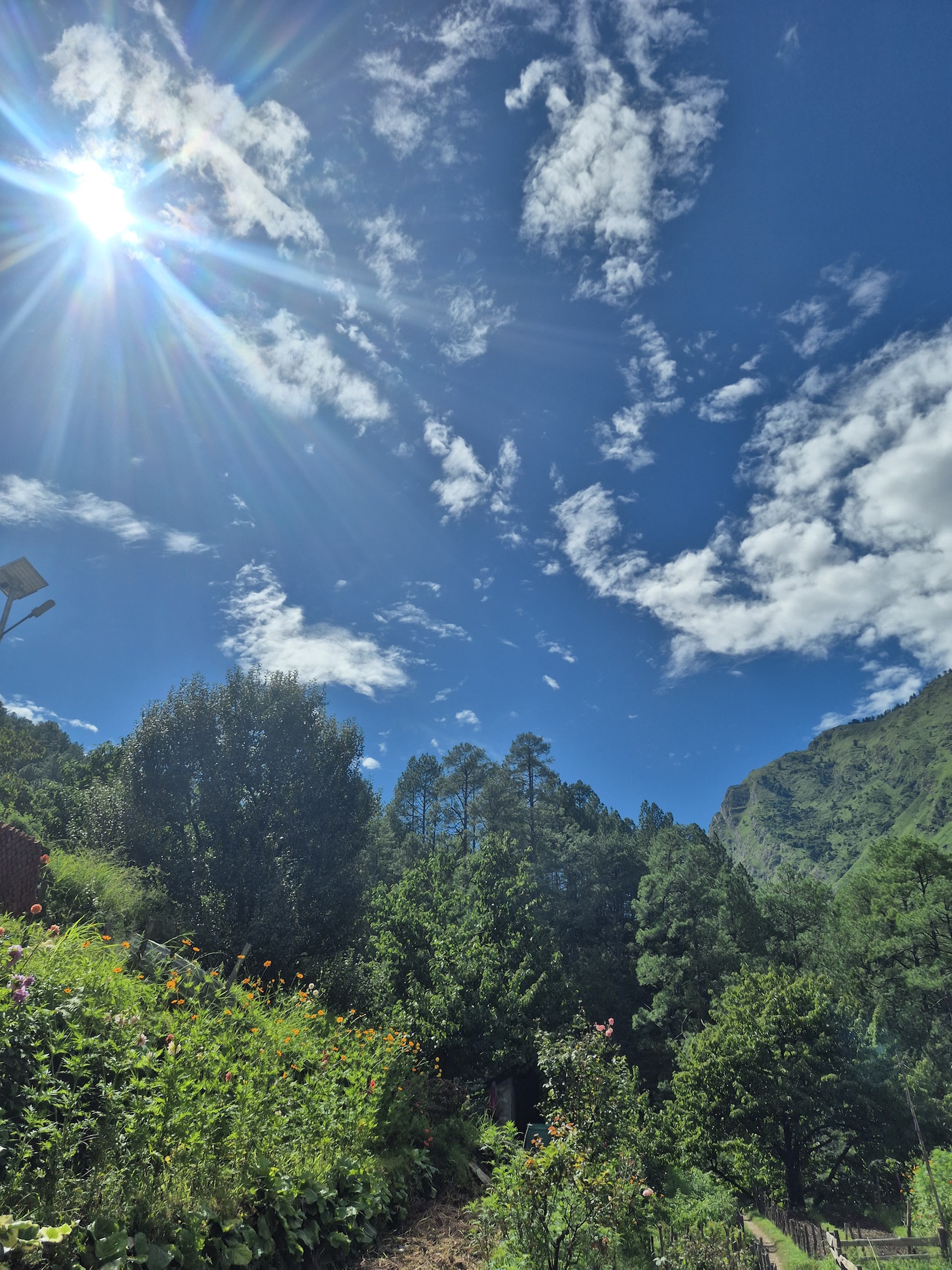
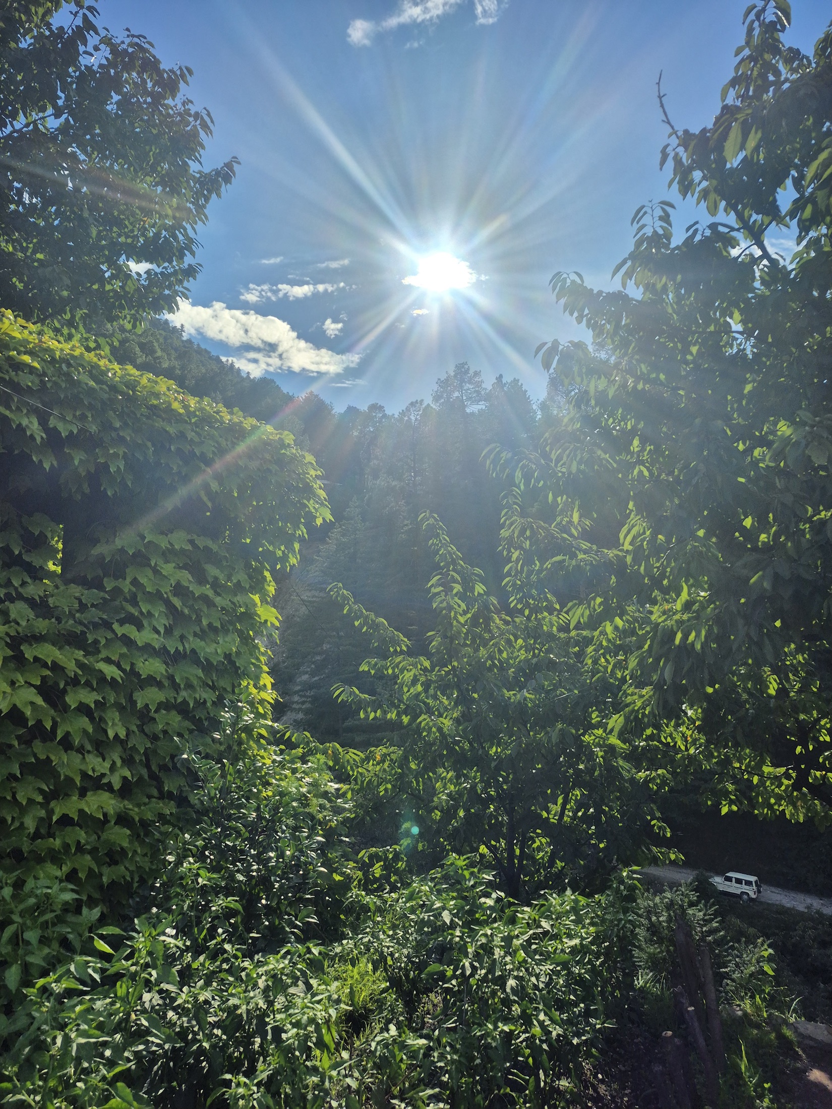
From high country to village thresholds
The Tirthan rises in the high country around Tirath and Hanskund in the Great Himalayan landscape, then moves through forest, farm and settlement. Near Gushaini and through the lower valley, its water becomes the steady neighbour of homes, paths, orchards and memory.
We follow that current slowly: towards the protected headwaters, through the GHNP Ecozone, and into the everyday knowledge of people who live alongside it.
World Heritage · Inscribed 2014
The GHNP Conservation Area protects an exceptional rise from riverine forest below 2,000 metres to alpine country and peaks above 6,000 metres. Its Tirthan, Sainj, Jiwa Nal and Parvati headwaters feed the wider Beas system.
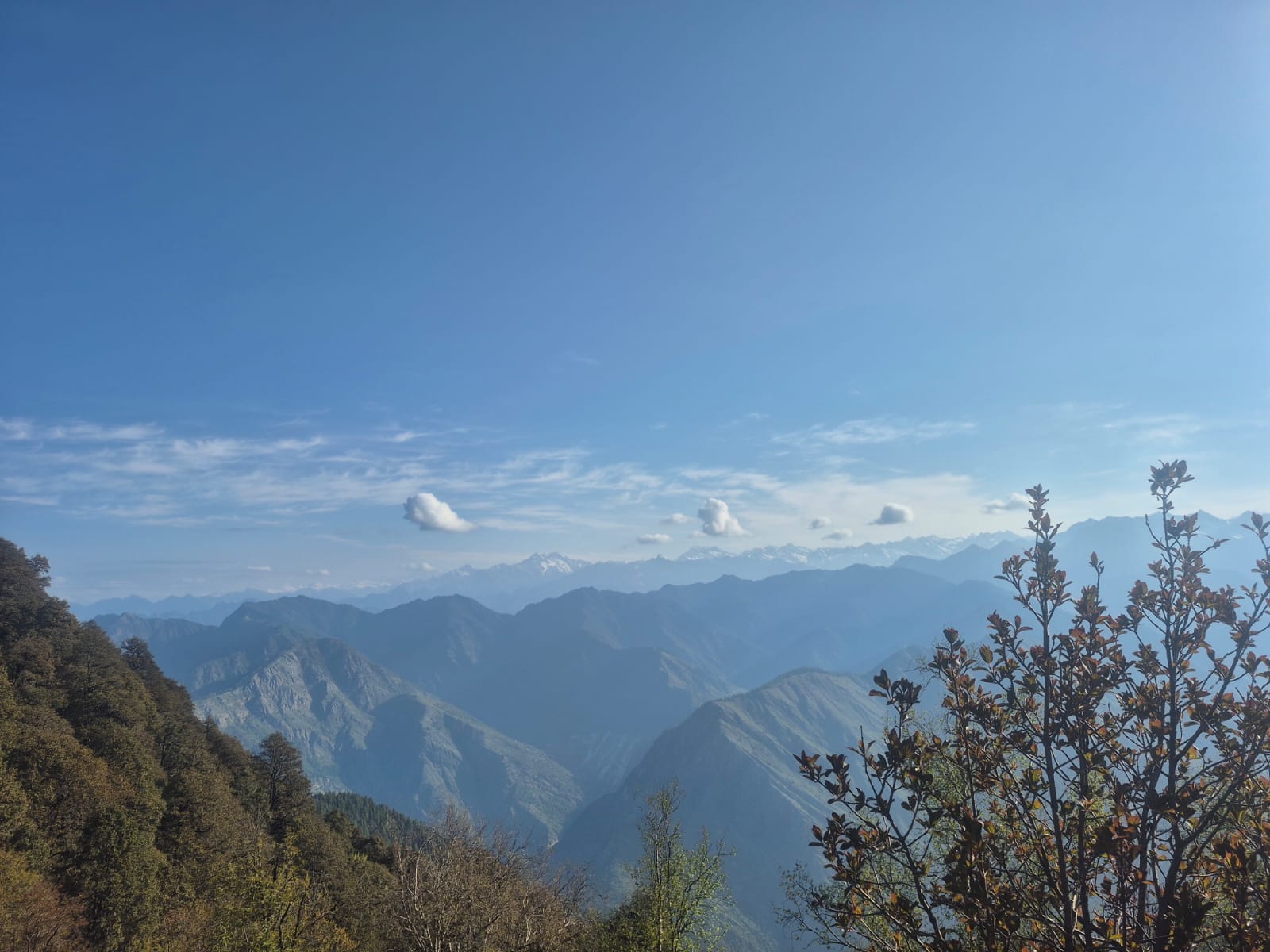
Owner-supplied photograph · Tirthanese
01 / 04
Riverine forests
Perennial streams, oak communities and shaded river corridors form the lower chapters of the protected landscape.
Temperate forest
Oak, deodar and other conifers create layered habitat for pheasants and mammals as the ground rises.
Alpine meadow
Short summers bring grasses and wildflowers. These fragile meadows ask for light footsteps and careful camps.
High Himalayan peaks
Above the meadow lie rock, snow and ice: the high sources that sustain Tirthan, Sainj, Jiwa Nal and Parvati.
A globally threatened pheasant associated with dense temperate forest.
A shy high-altitude forest dweller protected within the conservation area.
A sure-footed ungulate of steep mountain terrain.
A vivid pheasant of forest edges and alpine slopes.
An elusive predator of the highest, most remote habitats.
A valley, and the wider Banjar region
Tirthan remains the centre of this journal. Nearby Jibhi, Shoja, Jalori Pass, Serolsar Lake and Chehni Kothi belong to the wider Banjar and Inner Seraj landscape, not all strictly within Tirthan Valley.
A river-side threshold for the upper valley and approaches towards GHNP. Pause for the water, village paths and conversations—not just the road onward.
Keep away from fast water and slippery banks. Ask before entering private land.
Plan with care →A lived-in settlement along the valley corridor, best approached through river walks, local food and the unhurried rhythm of everyday life.
Treat lanes, orchards and homes as neighbourhoods, not sets.
Meet the editorial policy →The valley’s practical road town and a useful geographic anchor between Tirthan and the Inner Seraj side of the region.
Confirm onward transport and road conditions locally.
Travel notes →An important orientation point for understanding the park, its Ecozone and community-linked conservation landscape.
Verify office hours, access and current visitor arrangements before going.
Explore the elevations →Trailheads lead from inhabited Ecozone landscapes into increasingly remote forest and high country. Entry is not casual: plan with current park guidance.
Permits, guide requirements and routes must be confirmed locally.
See trek guidance →A forested settlement in the wider Banjar region. Its popularity makes quiet conduct, waste reduction and respect for residents especially important.
Use marked paths; never leave litter beside streams.
Understand the wider region →Short forest encounters can be meaningful without being turned into a checklist. Let changing water levels and local advice shape the day.
Rocks can be slick; do not climb barriers or enter unsafe water.
Safety first →A higher forest settlement on the approach towards Jalori Pass, distinct from Tirthan Valley while connected through Banjar’s wider geography.
Weather and road access can change quickly. Check locally.
Seasonal guidance →The pass opens towards high ridges and a walking route to the lake. The landscape carries ecological and sacred meaning beyond its viewpoint appeal.
Confirm trail, weather and road conditions before departure.
Walk responsibly →A commanding timber-and-stone tower within an inhabited village landscape. Read it as living heritage, not a detached monument.
Ask permission, respect temple boundaries and avoid intrusive photography.
Read about Kath-Kuni →A ridge destination in the Jalori landscape where meadow, weather and wide mountain views matter as much as the remains.
Route and ground conditions need local confirmation.
Trail principles →Temple courtyards, processional routes and sacred groves belong first to community life. Visitors are guests within that relationship.
Follow resident guidance; some objects and rituals are not for display.
Visitor etiquette →No places match this filter.
Long routes demand real preparation
Durations below are broad planning references from official tourism guidance, not promises. Weather, road, bridge and trail conditions can change. Confirm every route, permit and guide arrangement locally before departure.
Starting area Upper Tirthan / GHNP approach, confirmed with park staff.
Best general season Outside deep winter and monsoon; confirm current conditions.
Landscape River corridors, forest transitions, alpine terrain and high headwaters.
Cultural context Ecozone settlements and locally held knowledge of the route.
Requirements Registered local guide and applicable park permits should be arranged through current official channels.
Safety & care Remote terrain, cold, river crossings and rapid weather change require suitable equipment, fitness and a zero-waste camp.
Starting area Gushaini side, entering from the Ecozone towards GHNP.
Best general season Fair-weather windows; verify locally.
Landscape Forest, ridge habitat and changing views into the Tirthan catchment.
Cultural context The route begins within a lived community landscape.
Requirements Confirm current guide and permit requirements with park authorities.
Safety & care Carry back all waste and keep noise low around wildlife habitat.
Starting area Gushaini / upper valley approach.
Best general season Broadly fair-weather months; check route-specific advice.
Landscape Dense forest rising towards a higher top.
Cultural context Local guide knowledge connects the forest route to village seasons.
Requirements Confirm regulated sections, guide and permit needs.
Safety & care “Easy” is relative at altitude. Pace for the group and never shortcut marked routes.
Starting area Village approaches around the Tirthan Ecozone.
Best general season Varies by rain, snow and local path conditions.
Landscape Farm edges, forest, streams and river viewpoints.
Cultural context Homes, orchards, temples and working paths require considerate passage.
Requirements A local guide is valuable even where a formal permit is not required.
Safety & care Ask before entering orchards or photographing people and private spaces.
Living tradition is not a performance
Village devtas remain part of community decision-making, ritual life, seasonal gathering and collective identity. Temple courtyards, sacred groves, music and processions should be encountered on local terms.
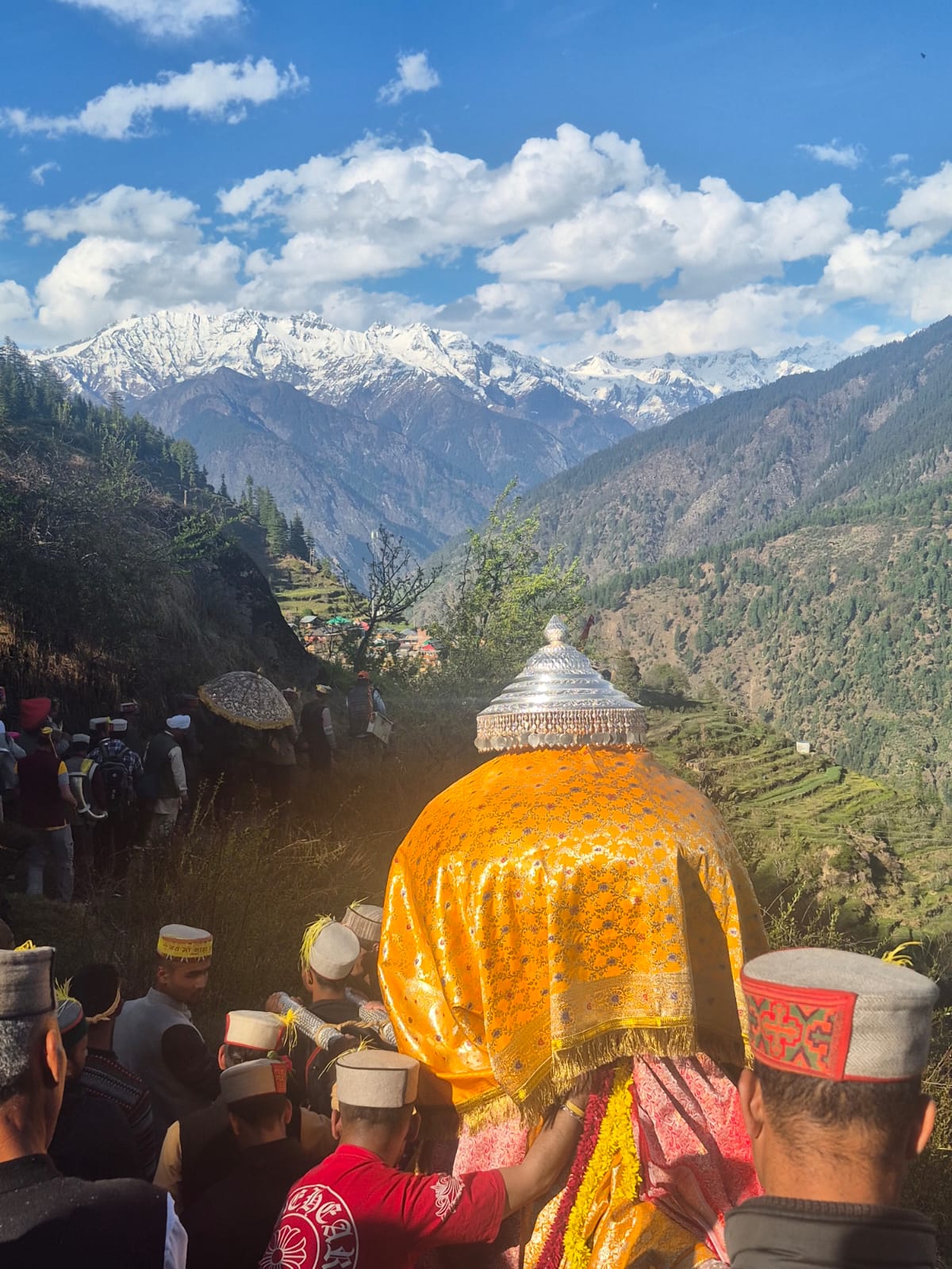
Calendars held by communities
Village melas bring deity gatherings, music, dress, dance and exchange into shared space. Dates may follow local calendars or community decisions; confirm with residents or organisers.
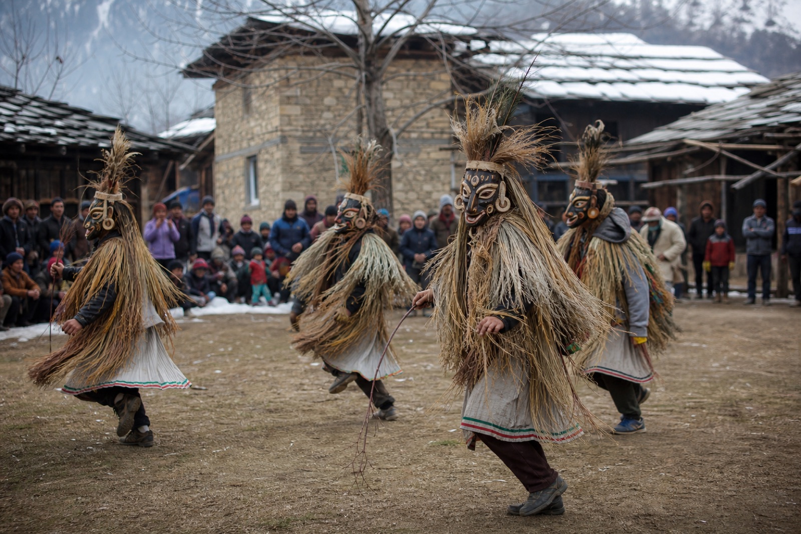
Winter / early spring context
Known in parts of Kullu and neighbouring Himalayan regions through local forms, masks, movement and seasonal meaning. Every village expression needs local confirmation.
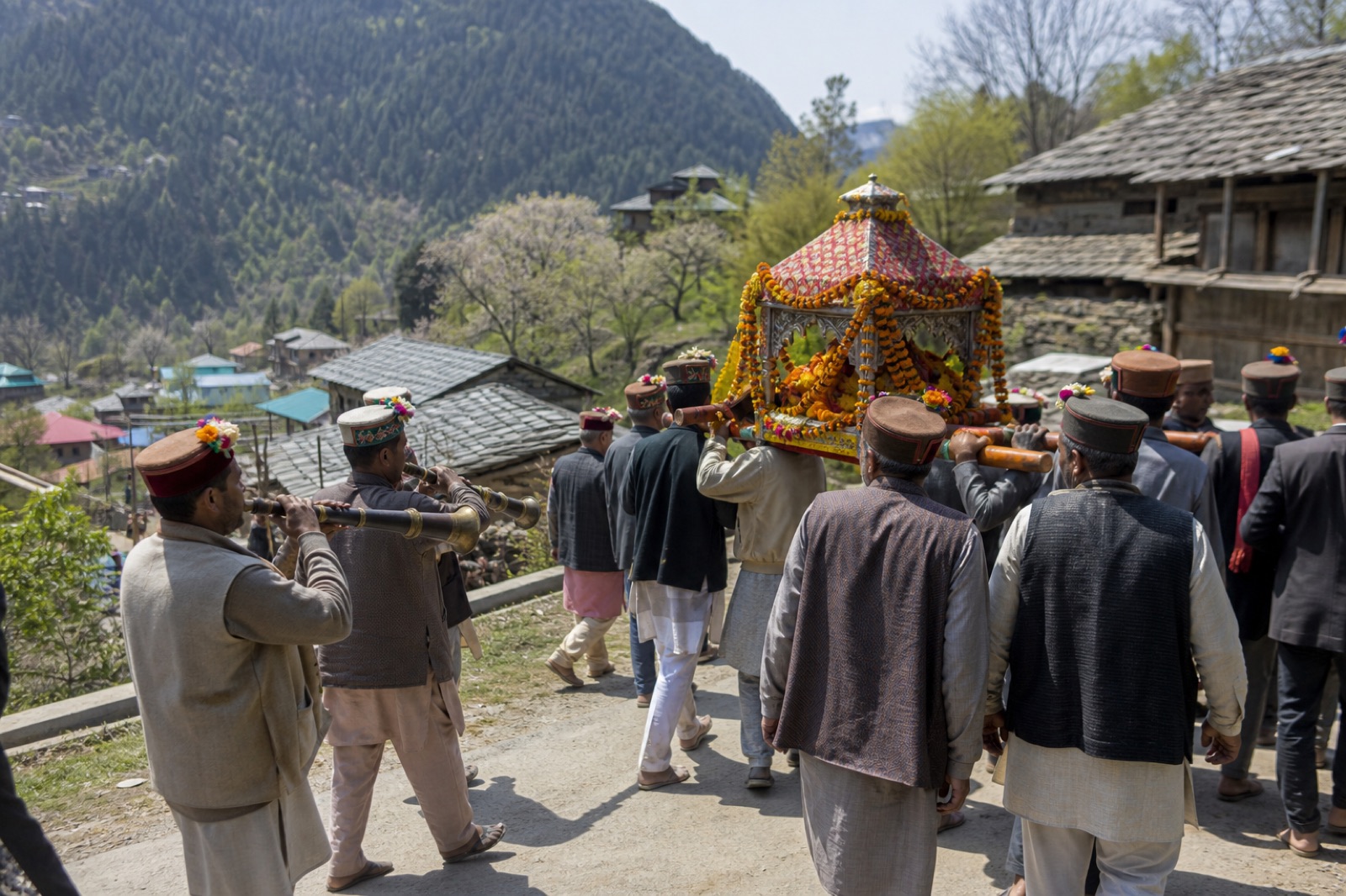
Banjar region
A regional gathering whose significance is rooted in participating communities. Attend without obstructing processions or turning sacred presence into spectacle.
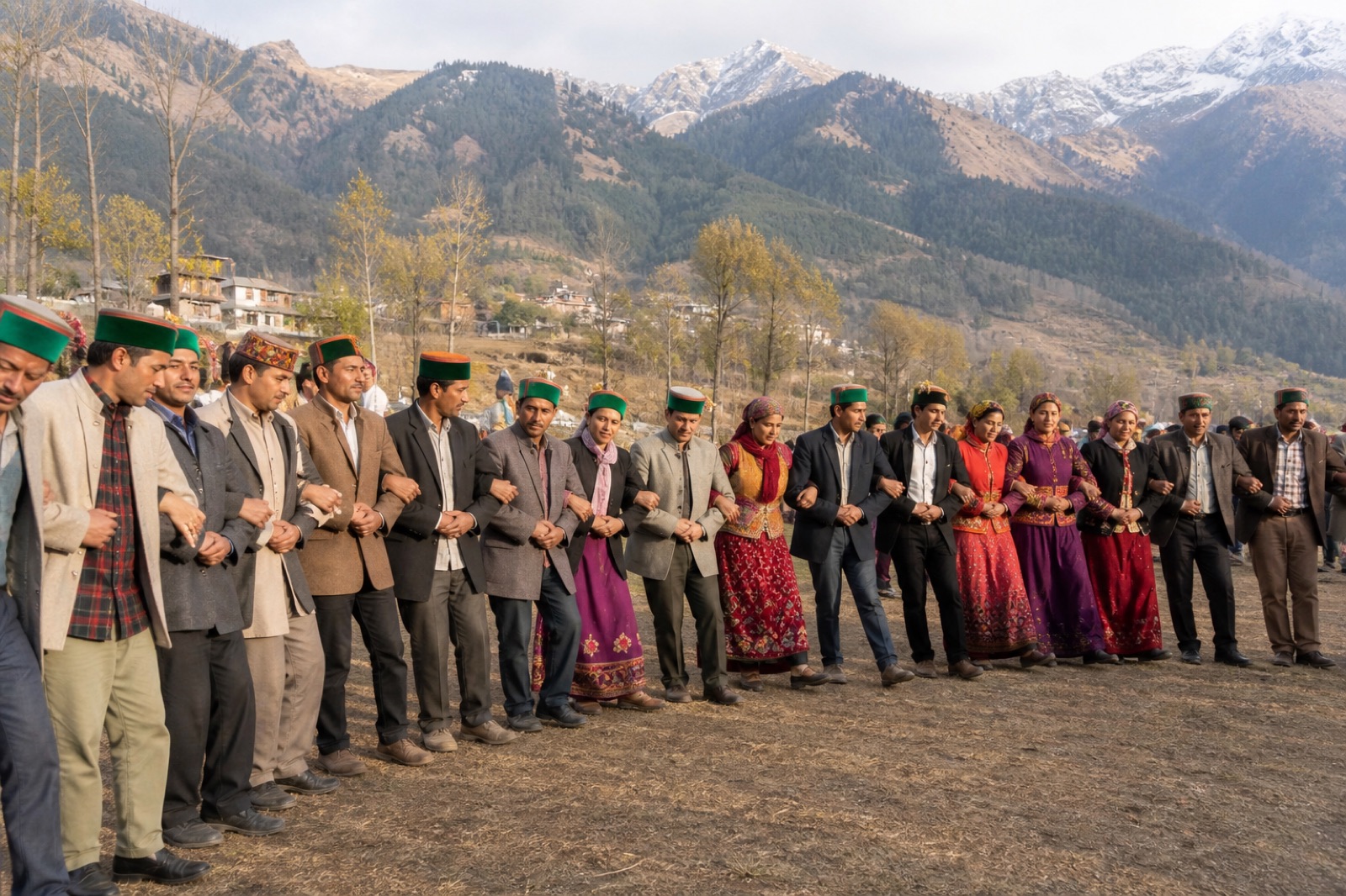
Village calendars
Fairs around Gushaini and neighbouring villages are social and sacred occasions. Ask what is appropriate before recording music, dance or people.
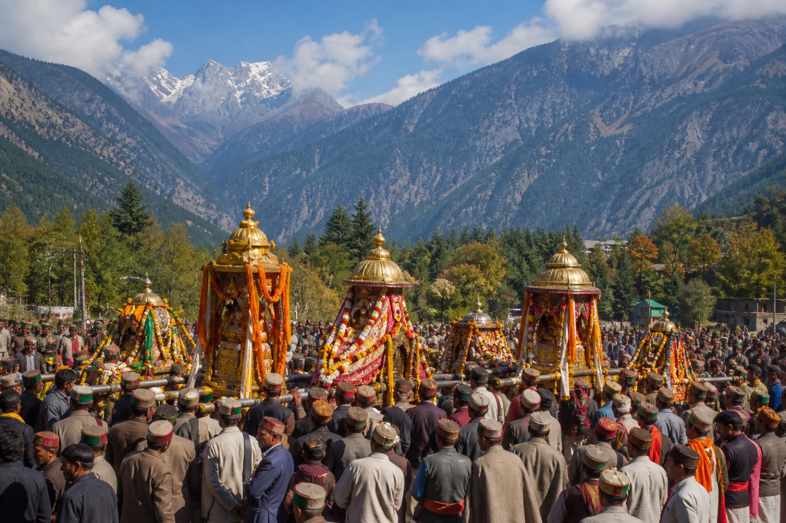
Wider Kullu context
The official festival describes a major gathering of deities and retinues at Dhalpur. It belongs to wider Kullu context.
Hospitality is the first ingredient
Regional kitchens draw from grain, lentils, orchard fruit, vegetables, dairy, chutneys and what each household keeps. Not every dish below is exclusive to Tirthan; many belong to wider Himachali cuisine.
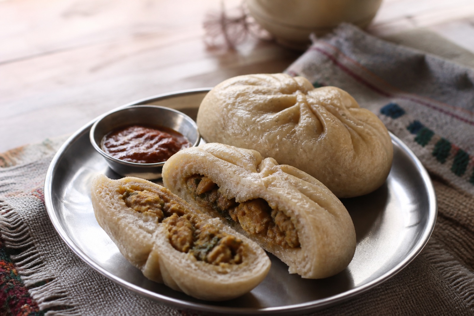
A fermented wheat bread often filled and served with ghee, butter, dal or savoury accompaniments.
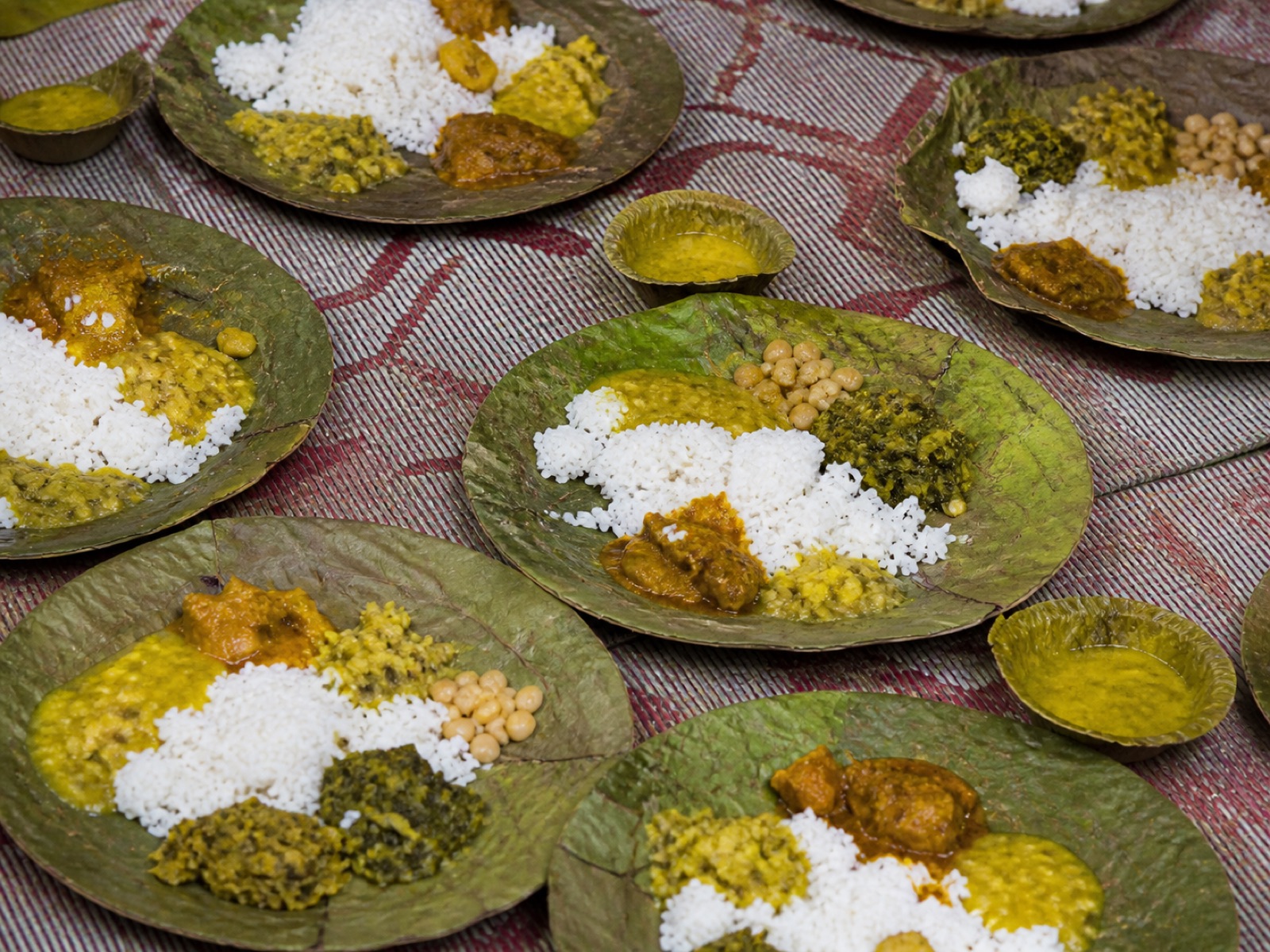
A ceremonial meal with regional variations, traditionally cooked by specialist botis. Kullu’s expression differs from Kangra, Chamba, Mandi and others.
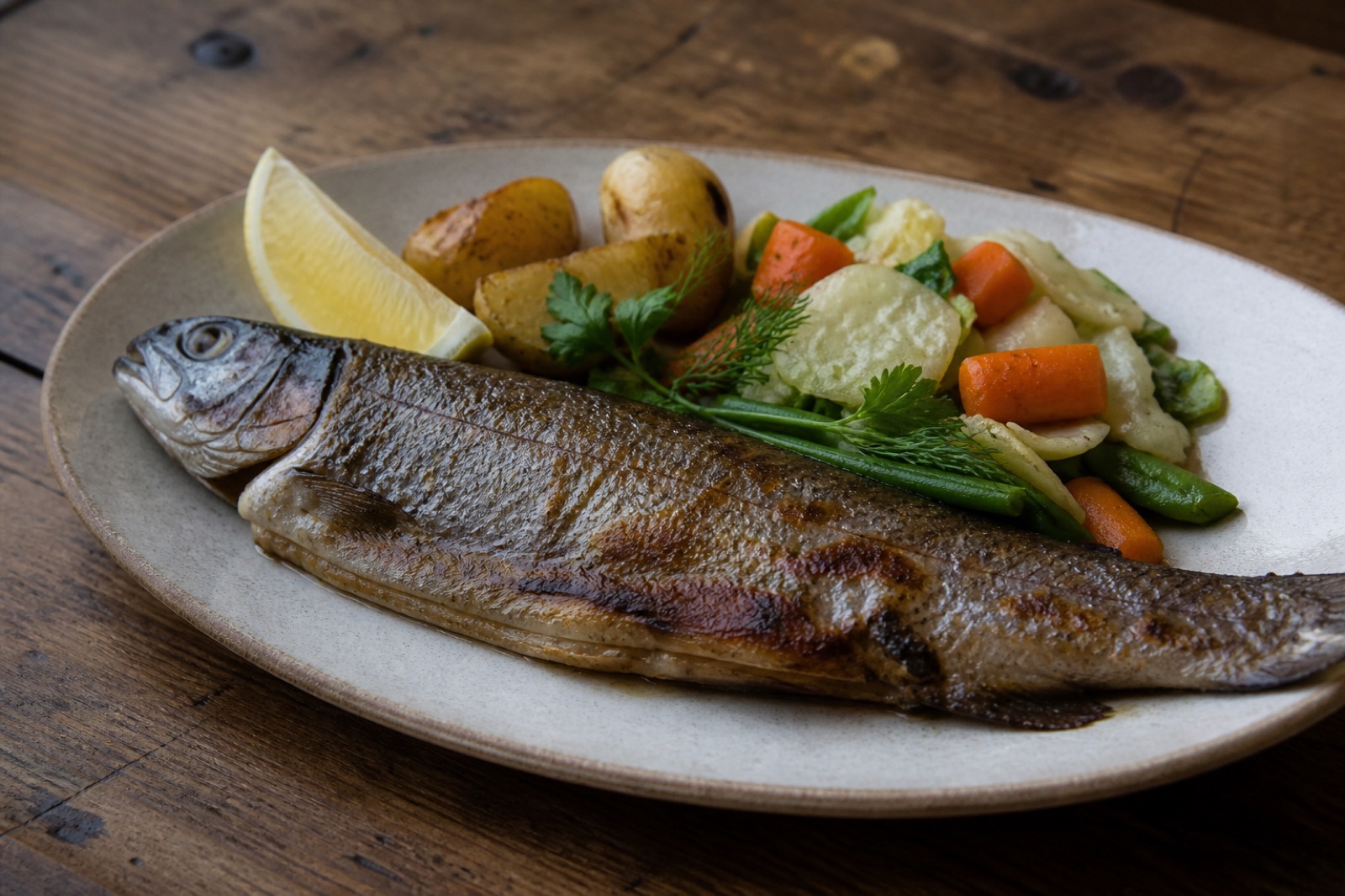
Trout is associated with several Himachali river valleys, including the Kullu region. Ask about legal, seasonal and locally sourced preparation.
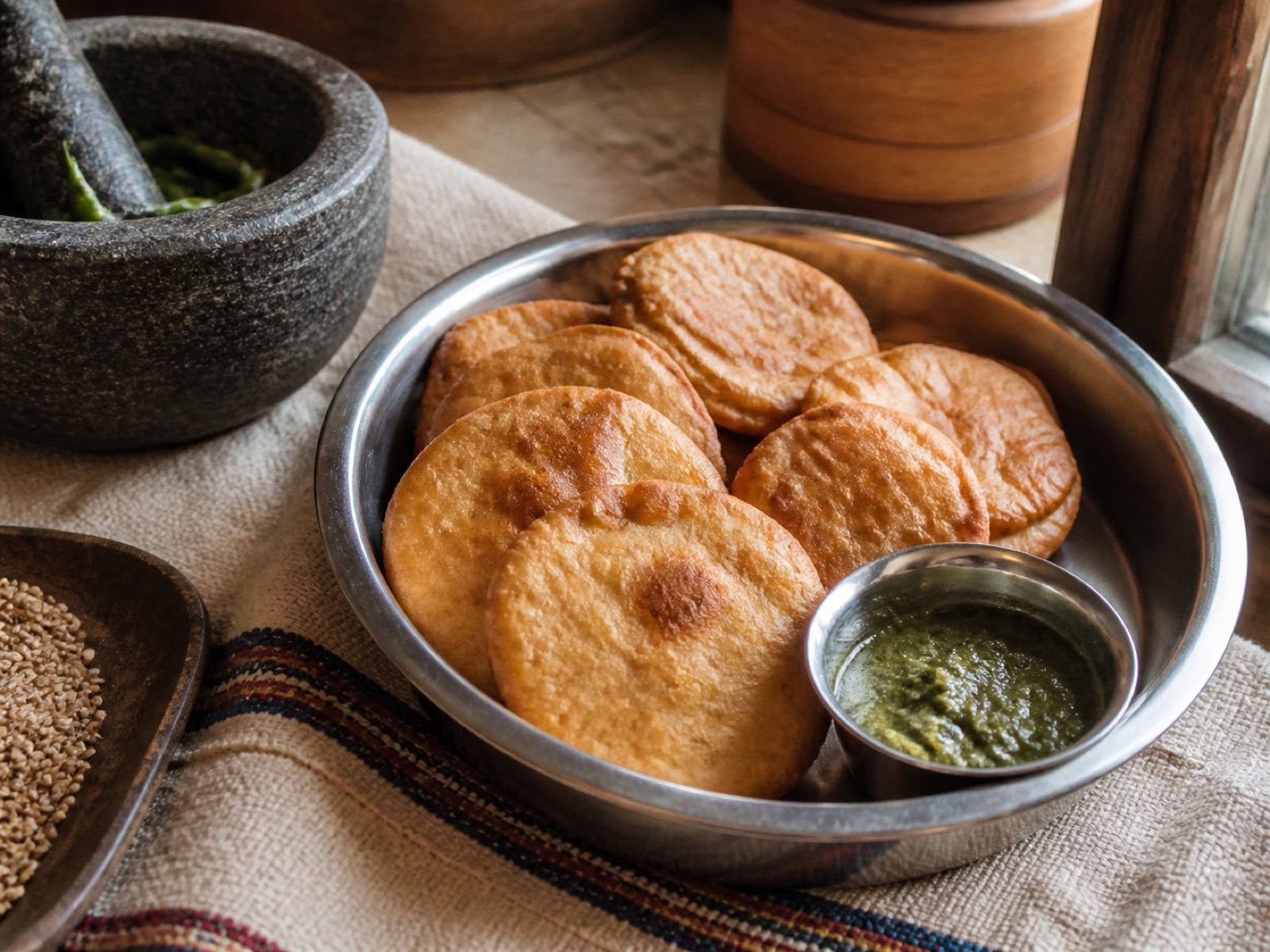
Babru is better understood within wider Himachali cuisine. Local grains, seasonal vegetables and chutneys tell a more place-specific story.
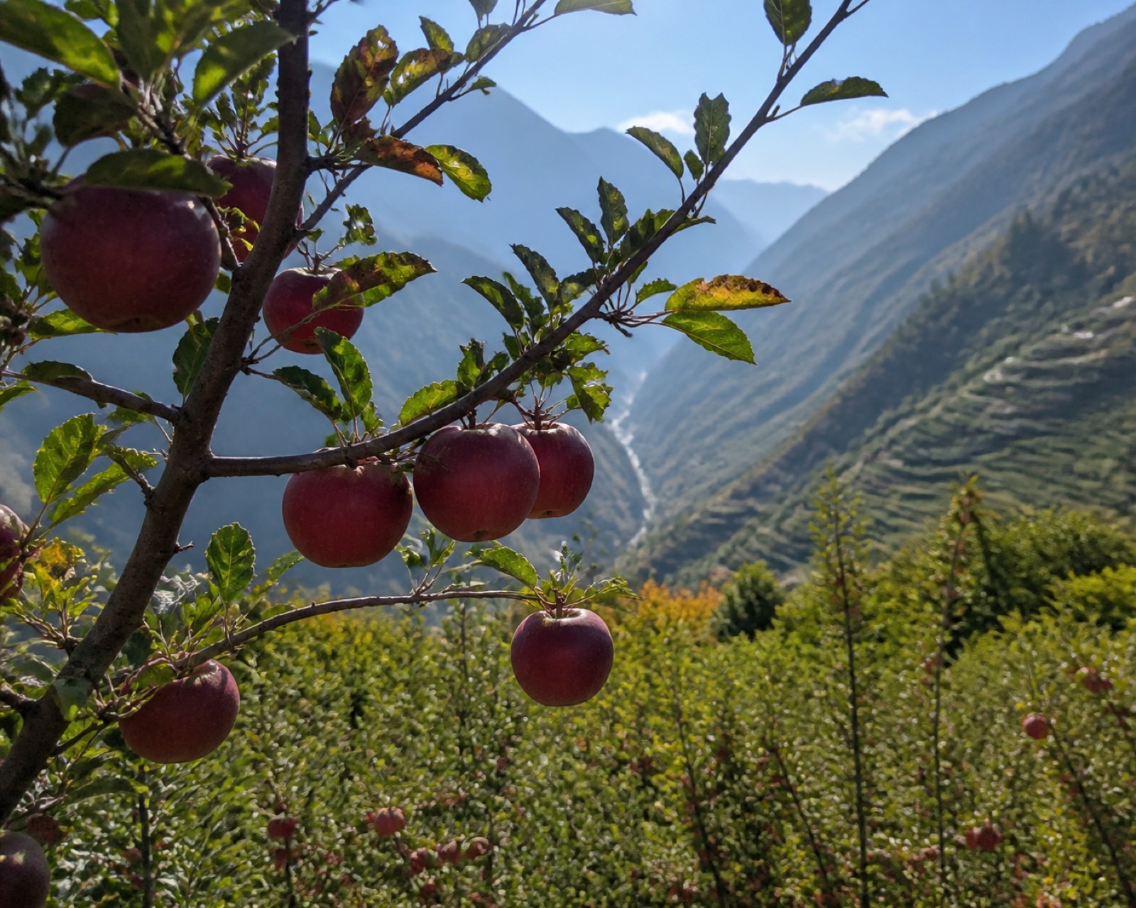
Apples and other orchard fruit, fresh vegetables, pickles and chutneys shift with altitude, season and the household.
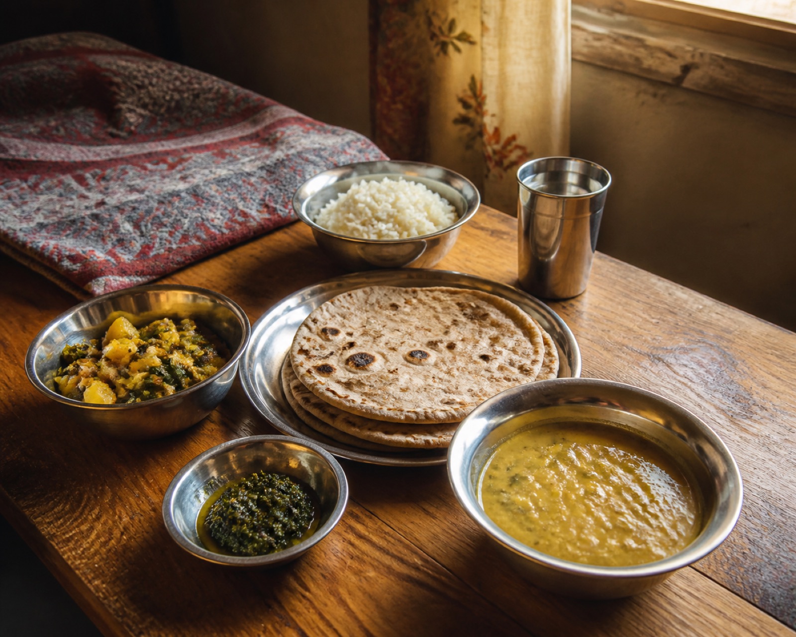
The most meaningful plate is often the one shared without performance: simple, seasonal and offered in relationship.
The emotional centre
A valley is held together through ordinary acts: a neighbour carrying news uphill, knowledge passed between generations, a hand offered during harvest, a meal set down for a guest, a path kept open after rain.
Tirthanese approaches people as participants in their own representation. Forests, farms, temples and water meet in lived relationships and in the dignity of everyday mountain work.
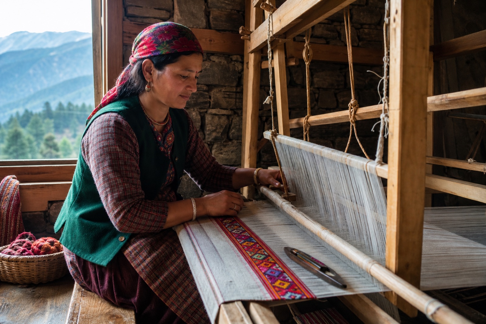
Kullvi pattu carries skilled handloom practice, material memory and patterns learned across generations.
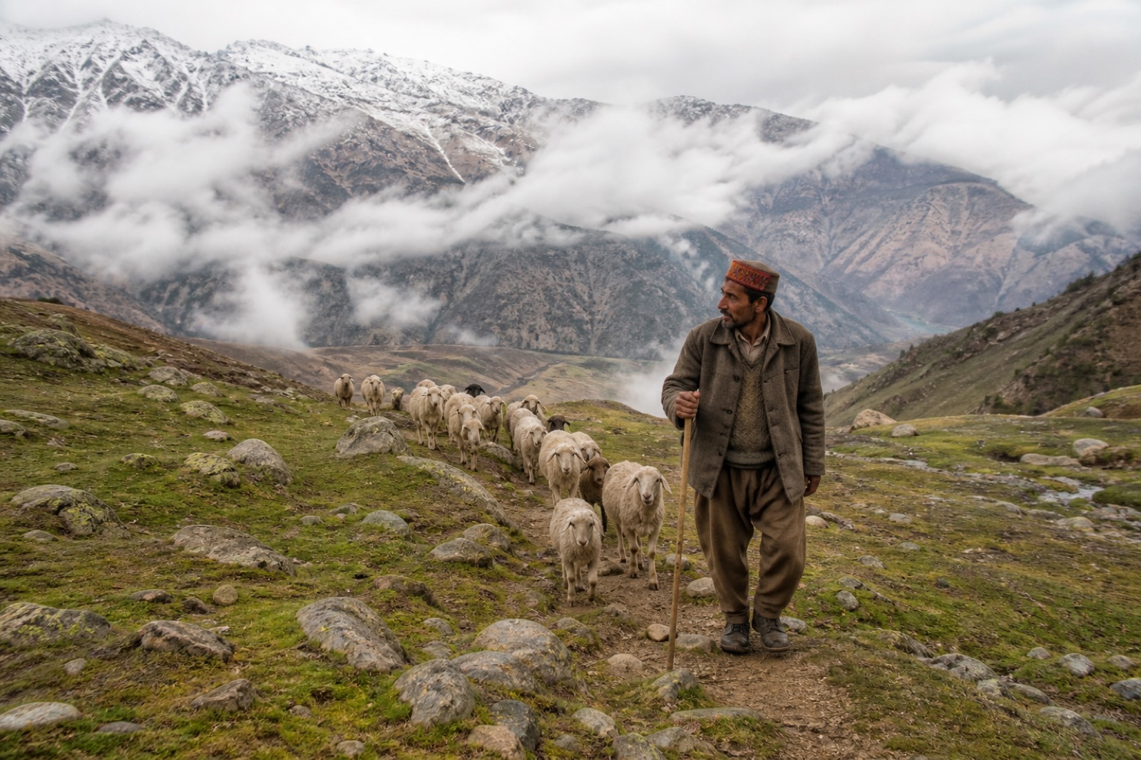
Pastoral routes reveal the knowledge, care and physical work that connect people, animals and high ground.
A smaller window onto Himachal
Tirthan remains our primary subject. These brief invitations locate it within a state of distinct climates, languages, sacred geographies, building traditions and mountain histories.
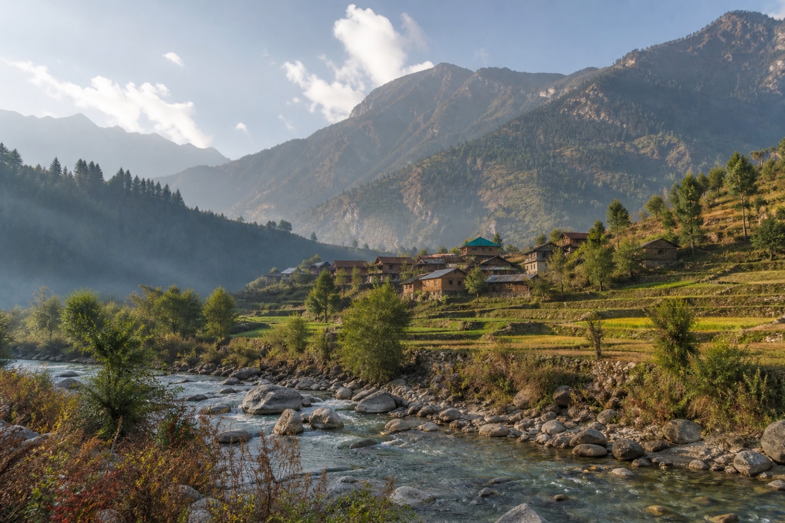
Another GHNP headwater landscape with its own settlements, trails and conservation relationships.
The broader district context of river valleys, dev traditions, craft and the Dhalpur gathering of Kullu Dussehra.
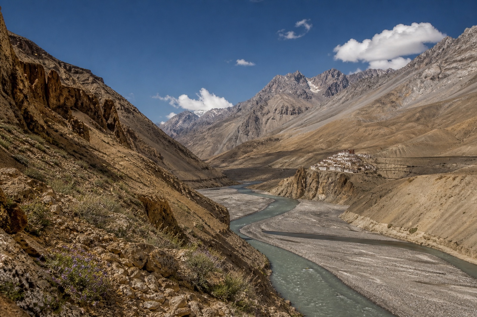
High, drier landscapes with distinct Buddhist, agricultural and architectural worlds.
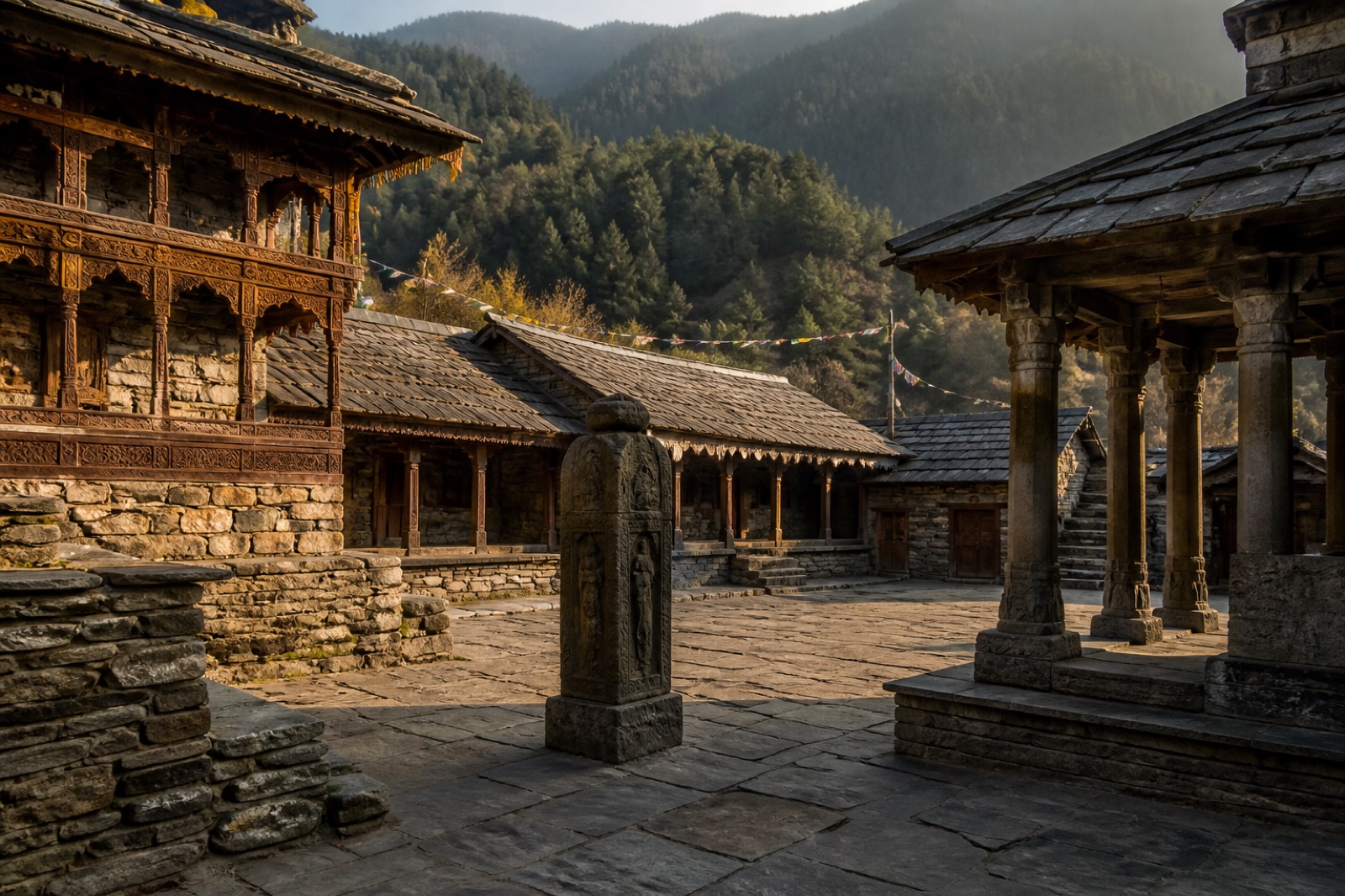
Valleys and hill regions with their own temple forms, painting, food, pastoral routes and languages.
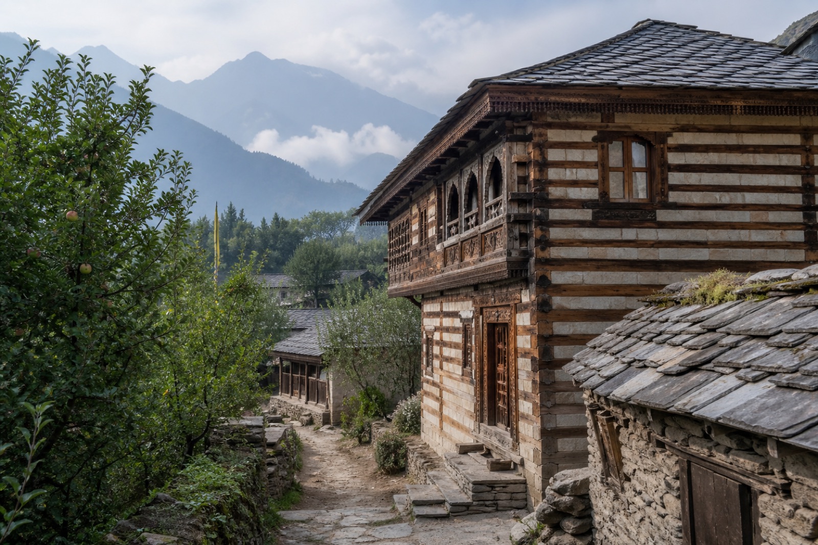
Naggar offers one architectural example; read every settlement through its own geography and living context.
Useful guidance, not a fixed itinerary
Banjar is the practical road gateway for the Tirthan and wider Banjar region. The road approach commonly branches from the Kullu–Mandi corridor around Aut. Public buses and local taxis operate, but routes and availability change—confirm with current official or local sources.
Emergency note. This journal does not publish emergency numbers or live conditions. In an emergency, contact current local authorities, your accommodation or registered guide, and use officially verified information.
TIRTHANISM | Tirthanese
Field notes, weathered paths and local observations by @_rikkithakur05. No Instagram media is copied or republished here.
What is verified, what is local, what can change
The hero, Visuals section and Tirthanese logo are owner-supplied original media. Place cards use original line illustrations. Images elsewhere on the site remain AI-generated visualisations created for this project; they are not documentary photographs and do not depict verified people, events or exact places.